SATELLITE IMAGERY
| JAX · REMOTE SENSING · SAR |
The planet at full
spectrum and full scale
Jax for Imagery. The agent that ingests satellite, SAR, multispectral, and ground sensor feeds — fuses them in the DataStore — and produces a live model of the physical world ready for any downstream task.
AGENT 02D · IMAGERY

the planet,under everysensor at once.
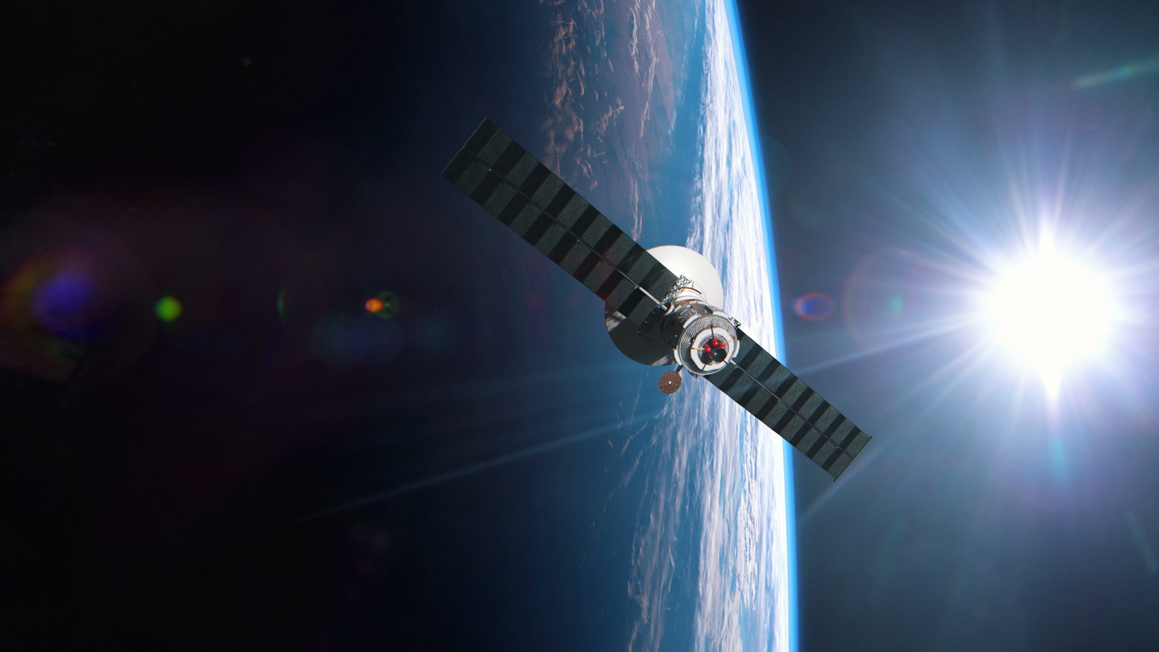
Every six hours, a new layer of the planet gets re-photographed. Optical, SAR, multispectral, thermal — petabytes hitting the ground from a constellation that already covers the surface many times over. Until now, only governments and a few defense primes could ingest it in real time. Jax for Satellite Imagery makes the same loop available to anyone with a question about a place.
And this is what that changes:
Imagery becomes an answer, not an asset.
Live, from orbit.
From the moment a satellite passes overhead, Jax ingests the take, registers it against the DataStore, runs change detection against the full archive, and surfaces what changed. Minutes from pass to alert.
WATCH NOW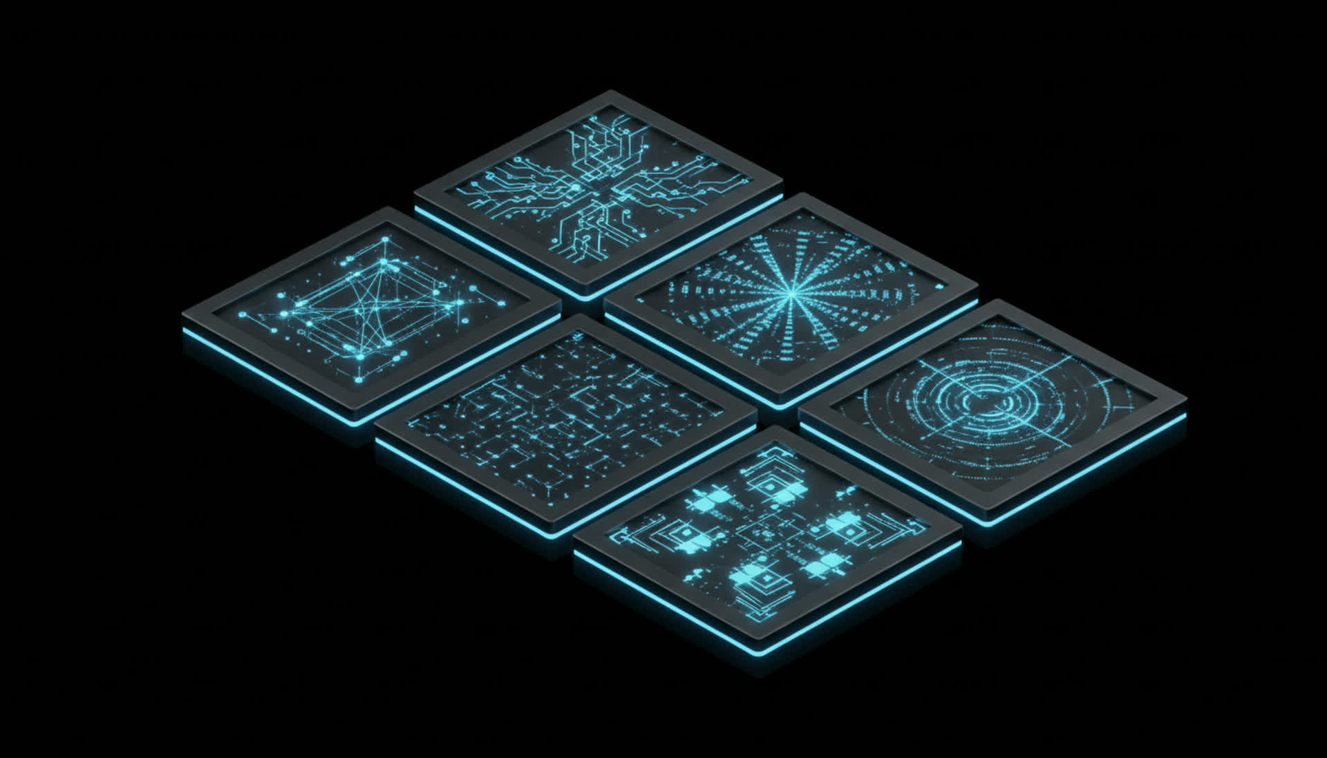
5 Core Goals
for Satellite
Intelligence
- 01
Collapse satellite tasking from weeks to minutes.
- 02
Fuse optical, SAR, multispectral, and ground sensors into one live model.
- 03
Detect change between any two takes in seconds, anywhere on Earth.
- 04
Bring planetary-scale imagery to every domain, not just defense.
- 05
Hand the imagery to the agent, not to a GIS team.