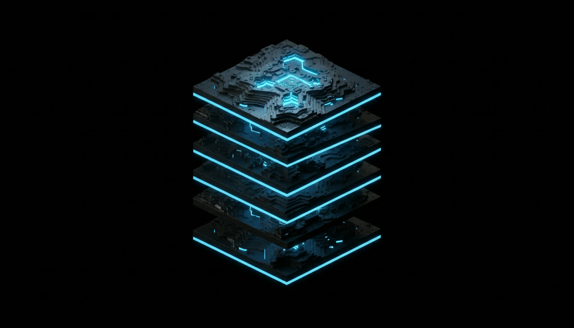
Nexma SatelliteEngine
Task the Sky. On Demand.
Search the global archive and commission fresh satellite captures over any point on Earth — optical, SAR, and multispectral — across every commercial provider from one interface. New imagery lands straight in the world model, ready to analyze.
Legacy Challenges
Why Fresh Imagery Is So Hard to Get
When you need a current look at a location, the data rarely exists yet — and getting it means waiting on revisit cycles, juggling separate provider portals, and stitching deliveries into your tools by hand.
The Latest Pass Is Weeks Old
Archive imagery is whatever happened to be captured last. When the decision is today, last month's scene isn't an answer.
Core Capabilities
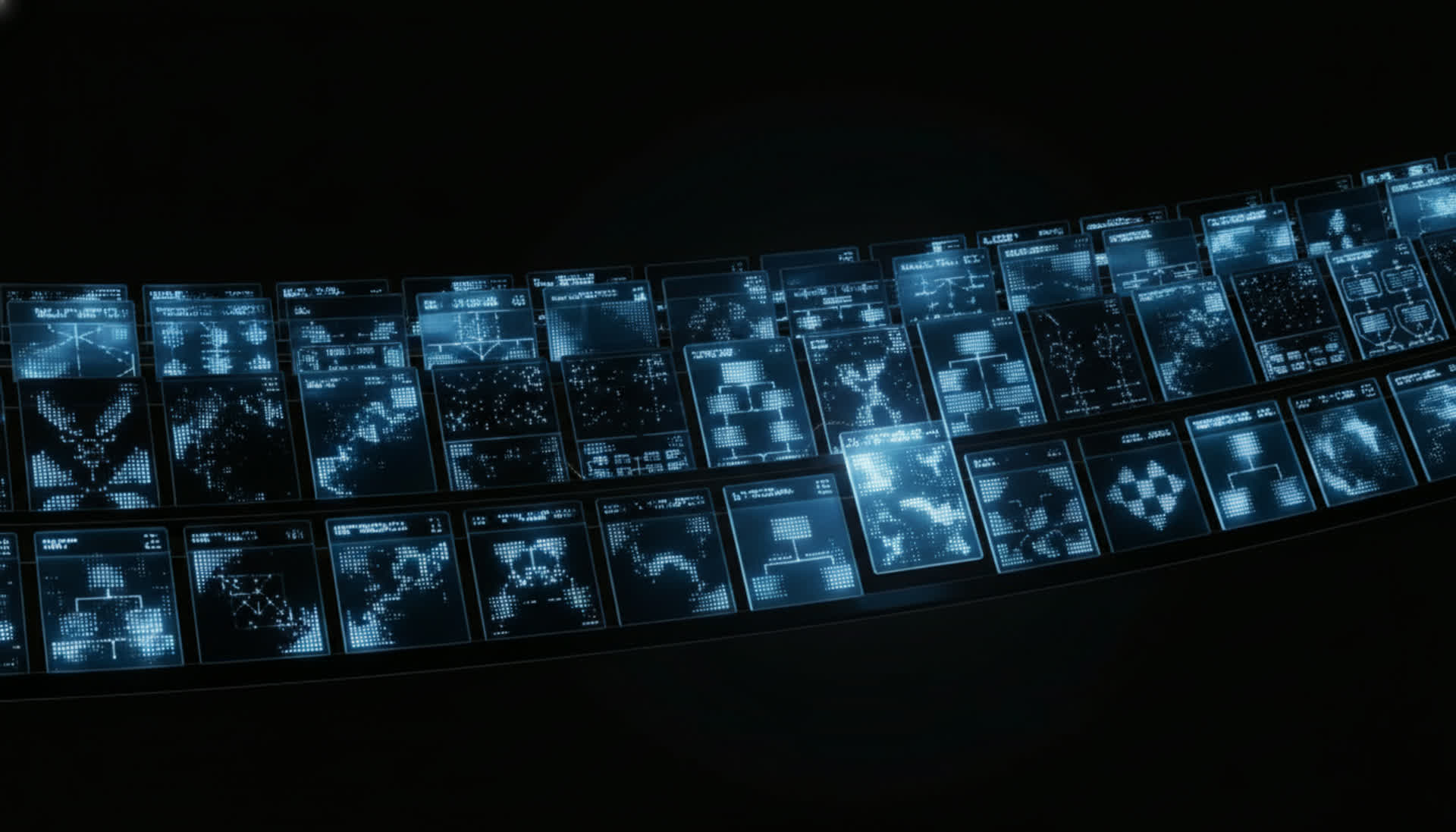
From Request to Imagery in One Loop
Nexma SatelliteEngine searches the archive, commissions new captures across every provider, and delivers the result into the world model — closing the observe-to-act loop.
Find what already exists
Query the global catalog across providers by area, date window, sensor, resolution, and cloud cover — and price every option side by side.
Product Benefits
Turn a Question Into a Capture
Get current imagery of anywhere on Earth on demand, order it from every provider in one place, and have it land where your team already works.

Fresh eyes, on demand
Don't wait for the next pass. Commission a new capture over any area of interest and follow it to delivery — current imagery when the decision is now.
Every provider, one interface
Search, compare, and order across the commercial constellation from a single flow — no per-portal accounts, no manual price-shopping.

Imagery that closes the loop
Because deliveries land in the world model, a new capture flows straight into detection and analysis — observe, decide, task, repeat.
Feature Details
An Acquisition Layer for the Platform
Nexma SatelliteEngine discovers, tasks, and delivers overhead imagery across providers, writing every result into the world model.
Archive Search
Query the global catalog by area, date, sensor, resolution, and cloud cover across every connected provider.
Transparent Pricing
See the price of each scene and tasking option up front, clipped to your area of interest, before you order.
Provider-Agnostic
One catalog spanning Maxar, Airbus, Planet, Capella, Umbra and more — compare and choose without switching tools.
Related Products
Explore the Spatial AI OS
One platform for all spatial data and workloads, from design to field operations.
FAQ
Get the Facts About Nexma SatelliteEngine
Read the DocsIt is the imagery acquisition layer of the platform. It searches the global satellite archive and commissions new captures over any area on Earth across commercial providers, then delivers the result into the world model where it can be analyzed.
Searching finds imagery that already exists in the archive. Tasking commissions a new capture that doesn't exist yet — when the latest pass is too old or the area was never imaged, you command a fresh collection over your area of interest.
Optical, SAR, and multispectral imagery across commercial providers including Maxar, Airbus, Planet, Capella, and Umbra — searched, priced, and ordered from one interface. SAR captures through cloud and at night.
The delivered imagery is written into the DataStore as a georeferenced layer, so it's immediately available to every view and flows straight into the InsightEngine for detection and change analysis.