Remote Sensing
Satellite imagery and synthetic aperture radar analyzed at planetary scale
[REMOTE SENSING]
The world observed and understood
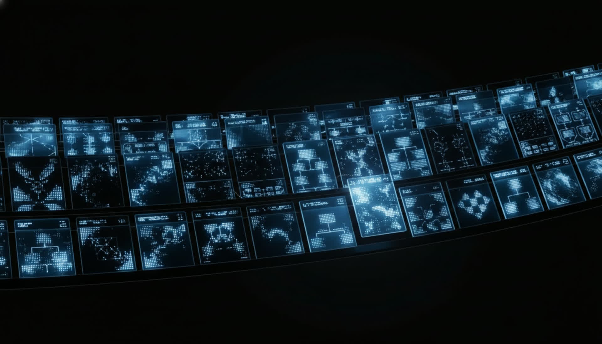
Multi-source ingestion
Optical, SAR, multispectral, hyperspectral — any satellite constellation, any revisit rate, unified on the platform.
Automated analysis
Change detection, object classification, and terrain modeling run continuously on incoming imagery.
Tasking integration
Request new captures from commercial satellite providers directly through Jax. Close the observe-decide-act loop.
[REMOTE SENSING]
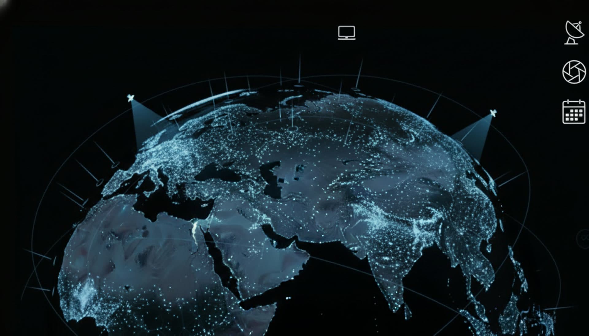
Planetary coverage
Monitor any location on Earth with configurable revisit schedules. From daily urban monitoring to seasonal agricultural assessment.
[REMOTE SENSING]
SAR processing
All-weather, day-and-night imaging processed into actionable intelligence. Ship detection, subsidence monitoring, and infrastructure assessment.
[REMOTE SENSING]
Temporal analysis
Time-series analysis over months or years. Track construction progress, deforestation, urban expansion, and military buildup with calibrated confidence.
[REMOTE SENSING]
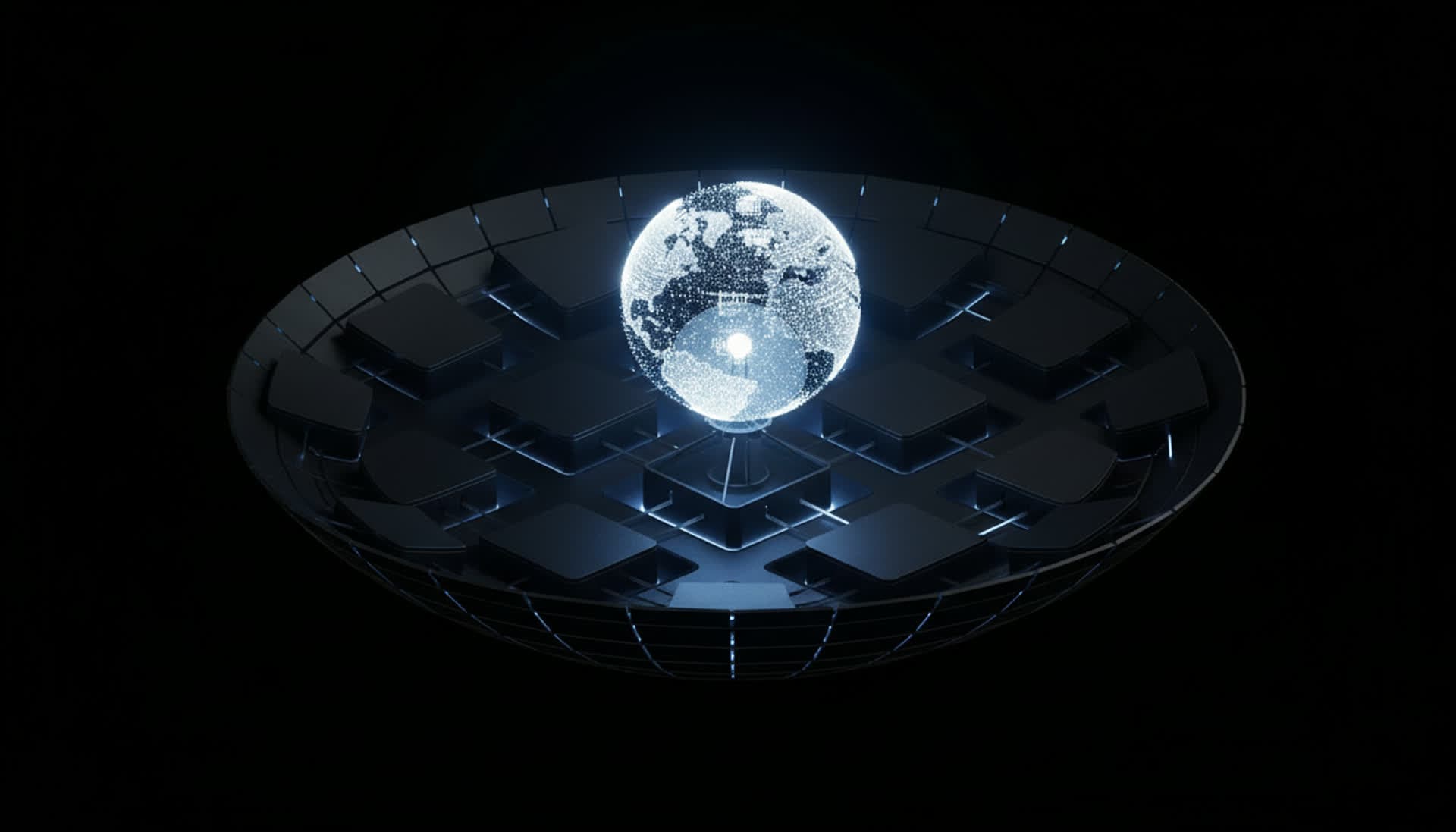
Global observation platform
Unified access to the world's satellite constellations. Task, ingest, analyze, and act — all from a single spatial interface.
[Nexma Enterprise]